


Good afternoon! As of this writing, areas of generally light to at-times moderate rainfall are impacting southern portions of Columbus, Brunswick, and New Hanover counties, especially over the beaches. Temperatures are generally in the lower to middle 50s area-wide and will exhibit little change as we go through the afternoon hours.
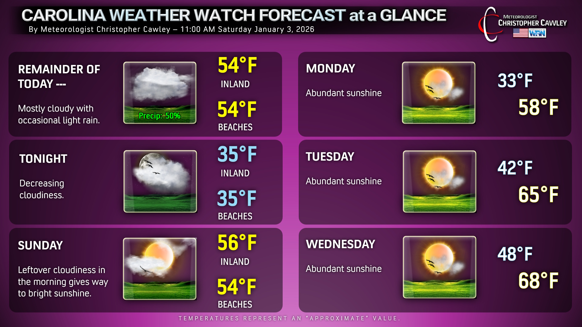
For the remainder of the afternoon, you can expect cloudy skies with periods of light to moderate rainfall. It’s going to remain dreary, damp, and chilly with steady temps in the mid 50s. All of this comes to an end tonight as low pressure pulls off the coast, our skies start to clear overnight. Temps will drop to the middle and upper 30s, even to the beaches. Your Sunday will feature some lingering cloudiness and perhaps some patchy fog in the morning, then bright sunshine with highs in the middle 50s.
Looking into next week, dry high pressure will be in firm control of the proceedings leading to a big-time warmup… temps by Wednesday and Thursday will be in the upper 60s to lower 70s inland (while stuck in the lower to middle 60s at the beaches).
Here’s your brand-new Forecast at a Glance!

Be the first to comment